GPS
Tool
Modern
Quick Facts:
GPS uses a series of orbiting satellites that receive and send radio signals to determine location and, in some cases, speed.
Introduction
Perhaps one of the most useful tools developed for navigation is Global Positioning System – better known as GPS. It began as a military tool, but now plays an important part in our everyday lives. Because of this useful tool we can now easily answer the questions “Where am I now?” “Where am I going?” and “How do I get there?”
History
Before maps, much of the world was virtually unknown. Nowadays, with help from GPS devices, navigation is easy and available to just about everyone. The United States Department of Defense began developing a modern GPS system in the 1970s. It was designed as a navigational aid for the military at a cost of about $12 million dollars.1 Ten trial satellites were launched successfully between 1978 and 1985. Between 1989 and 1994, a series of 24 satellites were put in place, and declared fully operational in 1995, although the number may vary slightly as newer models are put in place.2 The satellite constellation is known as NAVSTAR, a shorter – and easier – term for Navigation Satellite Timing and Ranging system.
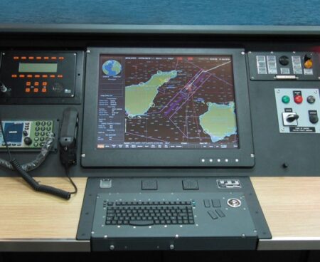
In the maritime world, GPS provides the fastest and most exact system for navigation, measuring speed, and determining location. This helps aid in safety and efficiency for ships and boats worldwide. In areas such as ports, heavy vessel traffic and other waterway hazards make maneuvering more difficult especially in poor weather.3 While at sea, accurate position, speed, and course direction are needed to ensure a vessel reaches its destination in the quickest, yet safest way possible.
How It Works
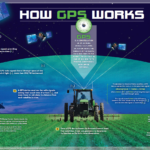
GPS relies on similar concepts, like knowing longitude and latitude, that early sailors learned. The system consists of three segments: the space segment (satellites), the control segment (monitors and control stations), and the user segment (receiving devices). It communicates through a series of 24 satellites in earth’s orbit. Devices – such as ships, airplanes, phones, etc. – are equipped with receivers. The satellites send or transmit a constant signal to the appropriate receiver, and determine its longitude, latitude, and altitude.4 By knowing the position of a few of the satellites and calculating various time differences between the transmitted signals, the receiver can determine its present position anywhere on earth. As you move, the GPS receiver continually updates your speed and position.
Endnotes
- Erik Sherman, Geocaching: Hike and Seek with Your GPS, (New York: Apress, 2004), 5.
- “History of the GPS Program,” accessed May 3, 2017, https://www.aiaa.org/uploadedFiles/About_AIAA/Press_Room/Videos/IAF-60th-Anniv-GPS-Nomination.pdf
- “History of the GPS Program”
- Steven K. Stein, ed., The Sea in World History: Exploration, Travel, and Trade vol. 1 (Santa Barbara: ABC-CLIO, 2017), 700.
Bibliography
“History of the GPS Program,” accessed May 3, 2017, https://www.aiaa.org/uploadedFiles/About_AIAA/Press_Room/Videos/IAF-60th-Anniv-GPS-Nomination.pdf
Sherman, Erik. Geocaching: Hike and Seek with Your GPS. New York: Apress, 2004.
Stein, Steven K., ed. The Sea in World History: Exploration, Travel, and Trade vol. 1. Santa Barbara: ABC-CLIO, 2017.
- GPS – How it works (Credit: National Coordination Office for Space-Based Positioning, Navigation, and Timing)
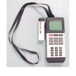
- Magellan GPS NAV 5000DLX TM (Credit: The Mariners’ Museum – Catalog# 2000.0054.000001)


